This website uses cookies so that we can offer you the best possible user experience. The information of the cookies is stored in your browser and performs functions such as recognizing you when you return to our website or helping our team understand which sections of the website you find most interesting and useful.

The best trips and accommodations for cyclists
Find trips Search hotelsBIKEFRIENDLY TRIPS
Upcoming trips
- Aragon |
- Spain
- Weekend (3 days / 2 nights)
- Groups in: October 2024
- Sport
- MTB
- Aragon |
- Spain
- 5 days
- Groups in: May and October 2024
- Sport
- Highway
- Aragon |
- Spain
- 8 days
- Groups in: December 2024 and April 2025
- Low Level Sports
- Aragon |
- Spain
- 11 days
- Groups in: 2025
- Low Level Sports
- MTB
- Aragon |
- Spain
- 8 days
- Groups in: December 2024 and April 2025
- Low Level Sports
- Aragon |
- Spain
- Weekend (3 days / 2 nights)
- Groups in: October 2024
- Sport
- MTB
Upcoming trips
- Aragon |
- Spain
- 6 days
- Groups in: May and September 2024
- Sport
- Highway
- Aragon |
- Spain
- 11 days
- Groups in: July 2024
- Sport
- Highway
- Aragon |
- Spain
- Weekend (2 days / 1 night)
- Groups in: May 2024
discover new places
Our philosophy
Proximity
We can't help it... and we end up being friends with our travelers!
Sustainability
We love our planet and try to reduce waste in all our processes and trips
Solidarity
We collaborate with NGOs and solidarity projects in different parts of the world.
Entrepreneurs
We embarked on this adventure because we believe in the transformative power of the bicycle and we are always dreaming and working to achieve new goals.
Survivors
Overcoming several crises and illnesses, including cancer, have turned us into a strongly united team, capable of growing in adversity.
Join the club!
Accommodation discounts
Exclusive travel offers
Raffle of brands for cyclists
Reserved places on trips and VIP stages
Priority for cycling events
Testimonials
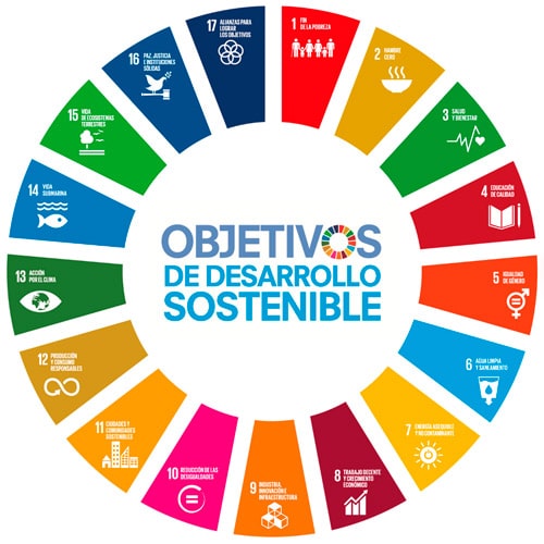
Bikefriendly with the SDGs
Sustainable Development Goals (SDGs) a commitment for all. Universal challenges to guarantee a more sustainable, diverse and fair planet. Learn how at Bikefrienly we apply the SDGs.
Bikefriendly as an ally for compliance with the SDGs
