Tracks of the Volcanoes

MTB route through the volcanoes of La Garrotxa
MTB
236 km
Total distance
5363 m
Elevation gain + accumulated
3
Physical difficulty (Out of 5)
2
Technical difficulty (Out of 5)
172 m
Minimum height
1076 m
Maximum elevation

Tracks of the Volcanoes
Description
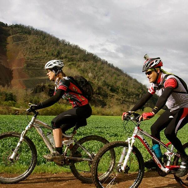
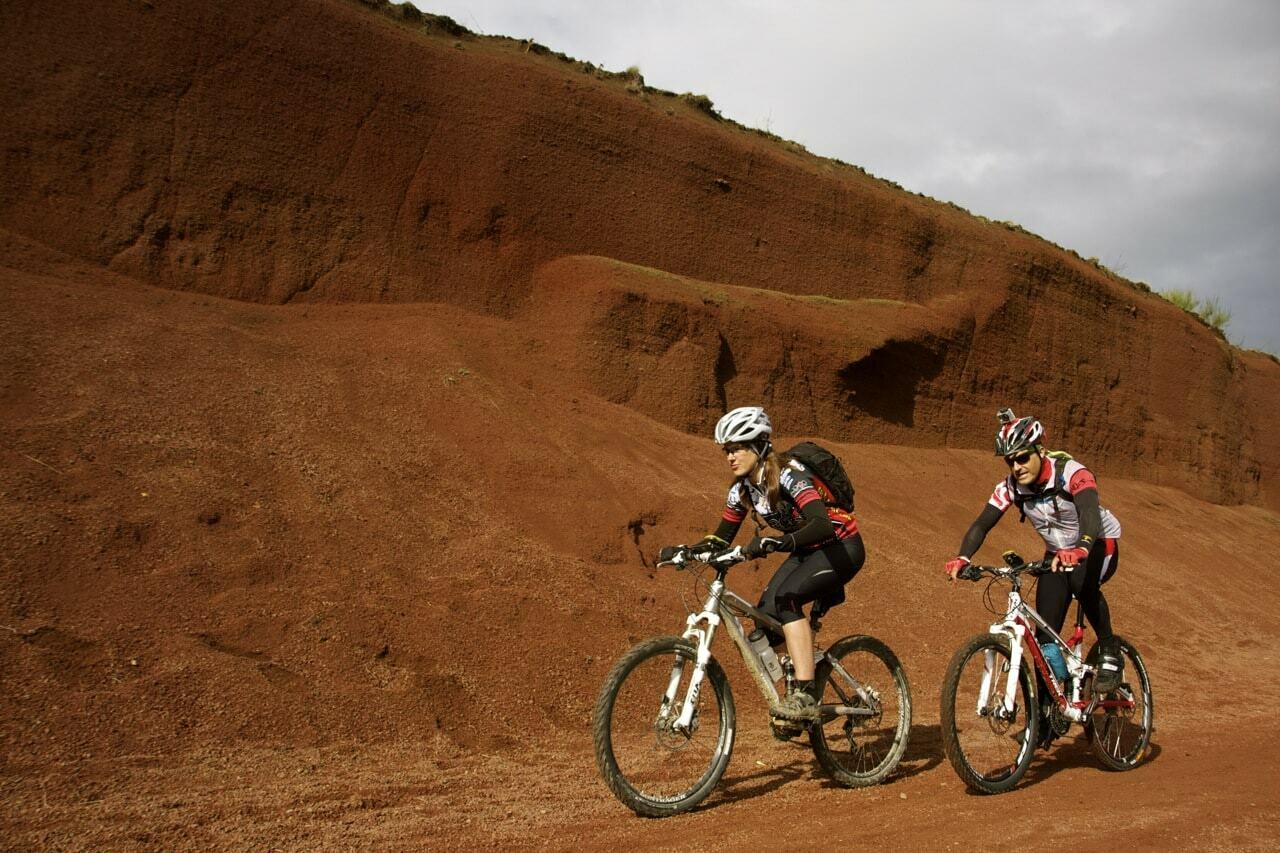
TRACKS VOLCANS is a self-guided mountain bike route through La Garrotxa that allows you to discover the most important volcanic landscape on the Iberian Peninsula. A multi-stage adventure through ancient volcanoes, lava flows, lush forests, and some of the most beautiful medieval villages in Girona.
The route enters the Garrotxa Volcanic Zone Natural Park , a territory comprised of nearly forty volcanic cones and more than twenty lava flows. Over time, this landscape has been transformed into a network of beech and holm oak forests and trails, creating an extraordinary setting for mountain biking.
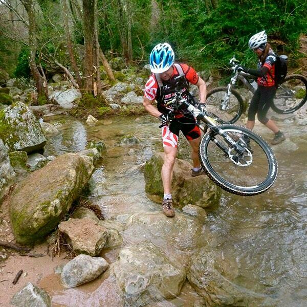
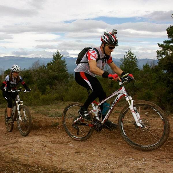
The route combines forest tracks, trails, and rural roads that cross through special areas such as the Fageda d'en Jordà beech forest . It also passes through towns like Rupit, Mieres, Besalú, Castellfollit de la Roca, Olot, Santa Pau, Les Preses, Joanetes, and Cantonigròs , showcasing the natural, historical, and gastronomic richness of La Garrotxa.
TRACKS VOLCANS offers a physically demanding but balanced experience. It can be completed in three or four stages and is especially suitable for cyclists accustomed to multi-day MTB routes and varied terrain.
The full-suspension bicycle is the most recommended option, although it can also be complemented with an e-MTB if you have technical experience and sufficient autonomy.
You can adapt the number of stages, accommodations, and services to the characteristics of your group. We design tailor-made TRACKS VOLCANS routes starting from a minimum of two cyclists.
THE TOP OF THIS ROUTE
- The volcanoes of La Garrotxa: Cycle through the most important volcanic landscape of the Iberian Peninsula, among cones, craters and ancient lava flows.
- La Fageda d'en Jordà: Cross one of the most unique beech forests in Catalonia, situated on an ancient lava flow from the Croscat volcano.
- Santa Pau and its medieval landscape: Discover a beautiful stone villa located in the heart of the Garrotxa Volcanic Zone Natural Park.
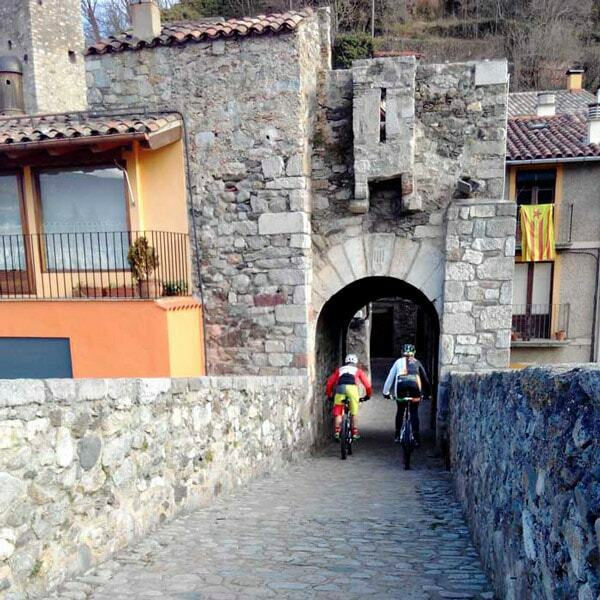
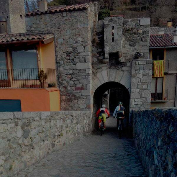
- Besalú and its medieval bridge: Enter one of Girona's most spectacular historic towns by crossing its iconic bridge over the Fluvià River.
- Castellfollit de la Roca: Behold a village built on an impressive basalt cliff formed by ancient lava flows.
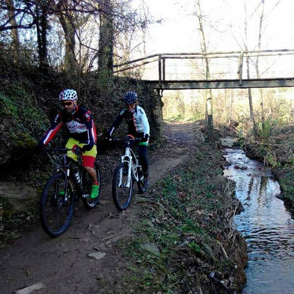
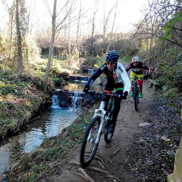
- The trails and forests of La Garrotxa: Enjoy a territory covered with beech and holm oak forests, with paths that change appearance in each season.
- Rupit and Collsacabra: Cycle to one of the most beautiful villages in Catalonia, surrounded by mountains, cliffs and stunning landscapes.
- A circular MTB route: Complete a great tour through the interior of Catalonia, returning to the starting point after crossing very different landscapes.
- Volcanic gastronomy: Recharge your batteries by discovering local products and the traditional cuisine of La Garrotxa, based on ingredients from the region.
- An experience in three or four stages: Choose the duration that best suits the preparation and availability of your group.
3 stages
If you have only a few days
DAILY TOUR
Day 1: Torelló - Joanetes 60 km +1552 m
Day 2: Joanetes - Castellfollit 74 km +1443 m
Day 3: Castellfollit - Joanetes 53 km +1230 m
4 stages
The ideal option
DAILY TOUR
Day 1: Torelló - Joanetes 60 km +1552 m
Day 2: Joanetes - Castellfollit 74 km +1443 m
Day 3: Castellfollit - Joanetes 53 km +1230 m
Day 4: Joanetes - Torelló 49 km +1138 m
Custom-made
Enjoy at your own pace
DAILY TOUR
We design your trip to La Garrotxa. Adapt stages, distances and pace to experience it your way.
Technical sheet
TRACKS VOLCANS is a multi-stage MTB route that traverses the Garrotxa region and other inland landscapes of Girona and Barcelona. The full version starts and finishes in Torelló, forming a large circular route.
The first stage leads from Torelló to Joanetes, crossing the Collsacabra mountain range and bringing cyclists closer to the volcanic landscapes of La Garrotxa. The route combines forest tracks, trails, and paths through woods before reaching this small village located next to the Vall d'en Bas valley.
The second day connects Joanetes with Castellfollit de la Roca and allows you to discover some of the most emblematic places in the region. The route passes through the area around Olot, Santa Pau, the Fageda d'en Jordà beech forest, Mieres, and Besalú before reaching the spectacular basalt cliff of Castellfollit.
From Castellfollit de la Roca, the third stage returns to Joanetes, crossing new paths, forests, and volcanic areas. In the complete option, a fourth day connects Joanetes with Torelló and completes the circular route by passing through Cantonigròs.
1% asphalt
45% trails
54% clues
Available services
Transport of suitcases
GPS rental
Local guide
Bike rental
mechanical assistance
Advice on the road
Meet the creator of this route
Jordi Salarich
Founder and director of the Tracks Bikefriendly brand. Creator of the routes Tracks del Diable, dels volcans, del Ter, Corriols VIP and dels Àngels.
Biker allergic to the slopes, lover of trails and goat paths, if they're downhill, even better.
FAQ
FAQ
Ideal bike
Tires
Orientation
Best time
Type of roads
Philosophy
luggage transport
mechanical assistance
Provisioning
Request a quote
We will contact you within 48 hours to send you a customized quote for your trip.
000.TRACKS – Volcans Tracks
" * " indicates required fields
Other tracks that might interest you
- Zarautz, Basque Country
- Tenerife, Canary Islands
- Gran Canaria, Canary Islands